“To know the future we must first know the past.”
Sydney D’harawal Elder, Aunty Fran Bodkin
Sydney D’harawal Elder, Aunty Fran Bodkin
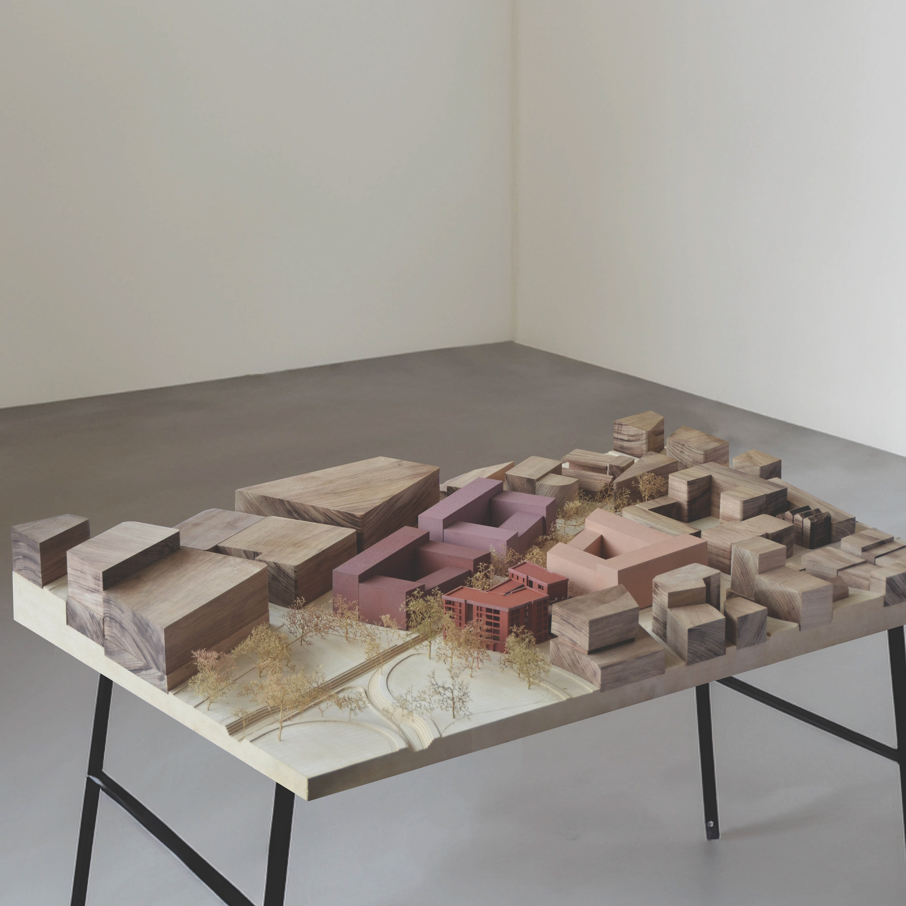
Position
Statement
We begin with Country, as a way of seeing and understanding. As a call to deeply engage with how Australian First Nations’ people have always read the landscape and the life it nurtures. Importantly, looking for Country leads us to see the stories of place through layers of time, showing us where we are and where we should be going.
This studio explores the ways to reveal and heal Country within the water catchment of Tjerruing – Blackwattle Bay. Sydney’s colonial tradition of city-making has ignored the waterways which have shaped and nurtured the land for millennia, often disconnecting urban design from the land. This legacy has left us with an environmentally unstable and vulnerable city. By embracing Countryfocused principles and conducting research into the historical treatment of land and waterways, we seek to reconcile the past while envisioning a sustainable future that not only prioritises the well-being of land and community but importantly honours and celebrates the knowledge of this Country’s First nation’s people.
This project ambitiously examines the entire Tjerurring – Blackwattle Bay catchment with a specific focus on delivering an affordable housing project at the City of Sydney Depot on the edge of Wentworth Park. The site’s diverse layers of geological history, Indigenous stewardship, colonial impact, heritage, water management, and housing affordability form the basis for a comprehensive masterplan. This proposal integrates daylighting interventions and resilient infrastructure, aiming not only to promote housing affordability and community centric development but also to shift the perception of housing from a mere investment to infrastructure that benefits all residents. Through this project we question how to bridge the divide between colonial urbanisation and natural systems while contributing to the holistic healing and honouring of Country for future generations.
Understanding Tjerruing
As students, designers and practitioners alike, we are all really new to the concept of designing with
Country focused principles at the forefront of the design process. It has been a great privilege to be
a part of a studio project that prioritises looking for Country, its stories and a new way of thinking when
approaching architecture.
Country focused principles at the forefront of the design process. It has been a great privilege to be
a part of a studio project that prioritises looking for Country, its stories and a new way of thinking when
approaching architecture.
Our initial research helped us explore the relationship between Country and architecture - how it has
been ignored and degraded in the very recent colonial history of Australia but also how it can be healed
and revealed for the communities of the future.
Building upon the concept of layering from Craig Burton’s studio speech and Designing with Nature
(McHarg) we zoomed in on Blackwattle Bay / Tjerurring Catchment and started to read the catchment
as a series of layers - which are all shaped by and connected through water.
Sydney is built on an ancient geological layer, built up from Wiannamatta Shale, Hawkesbury Sandstone
and alluvial soils - which have been shaped and carved away by water for millennia.
The resultant topography is represented in the first layer, and reveals the path of the catchment’s creek
before colonial destruction. First people witnessed and navigated this shaping of land and the movement
of water and lived and cared for Country in a way that was incomprehensible to Colonial settlements.
The second layer illustrates the stormwater systems that run through the catchment currently.
Importantly we begin to see the colonial impact on Country embedded in the catchments very geology.
This reveals colonial Sydney’s long history of turning its back to our waterways, taking them for granted,
as an expedient means to dispose of waste and to hide water away from sight. This is a recent way of
treating the landscape which can be seen even in today’s reliance on stormwater drains and culverts to
channel water, underground and outside of its natural course.
It’s our view that this treatment of water obscures the way we read country and place and its relationship
to water. This is a tension between a colonial urban fabric and the systems which shape Country that
we aim to challenge in our design thinking. With all of this considered, we need to begin thinking about
designing an urban landscape which is driven and shaped around Country’s topography and water.
Catchment Proposal
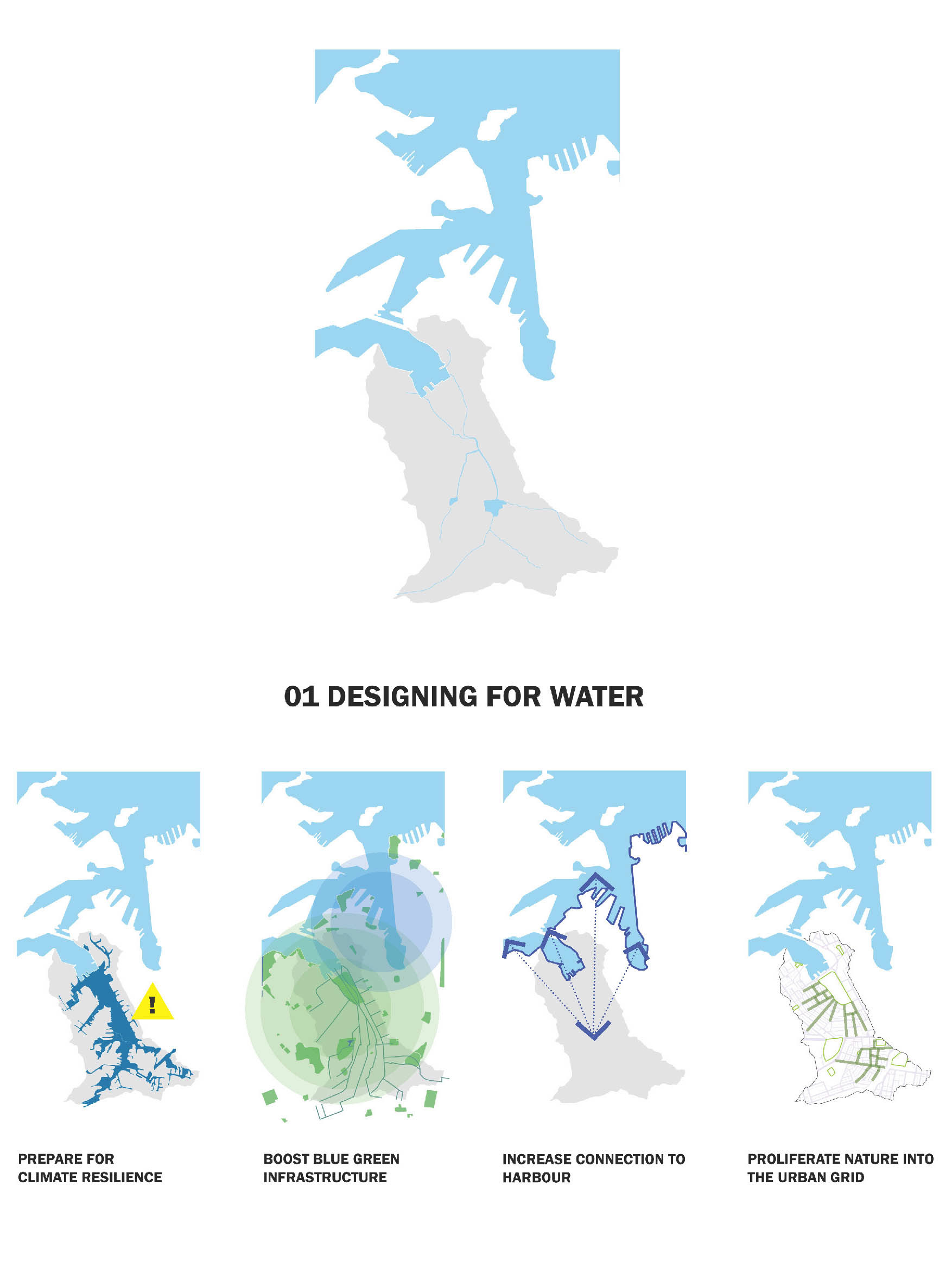
Ultimately, we envisage this strategy as an exemplar to designing multi-residential housing with appropriate density within the catchment. Following the course of the original creek we propose that daylighting can occur at a range of scales as the creek travels up the catchment. Starting from our project site on the edge of Wentworth Park, the creek will help activate this neglected green space and connect it back to Sydney harbour, a connection recently jeopardised by the construction of the new Sydney Fish Market.
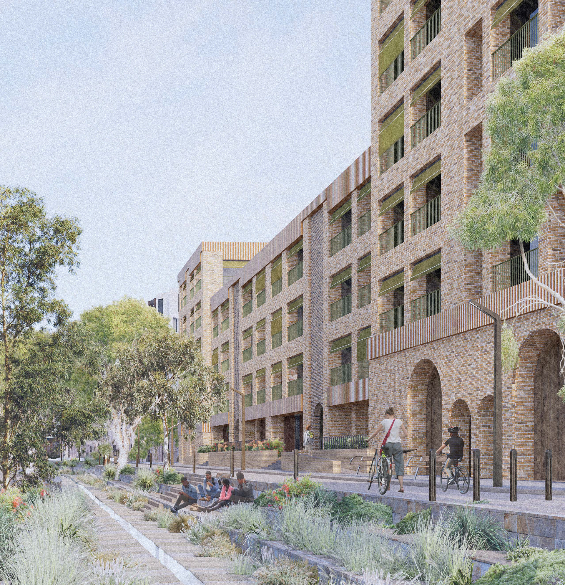
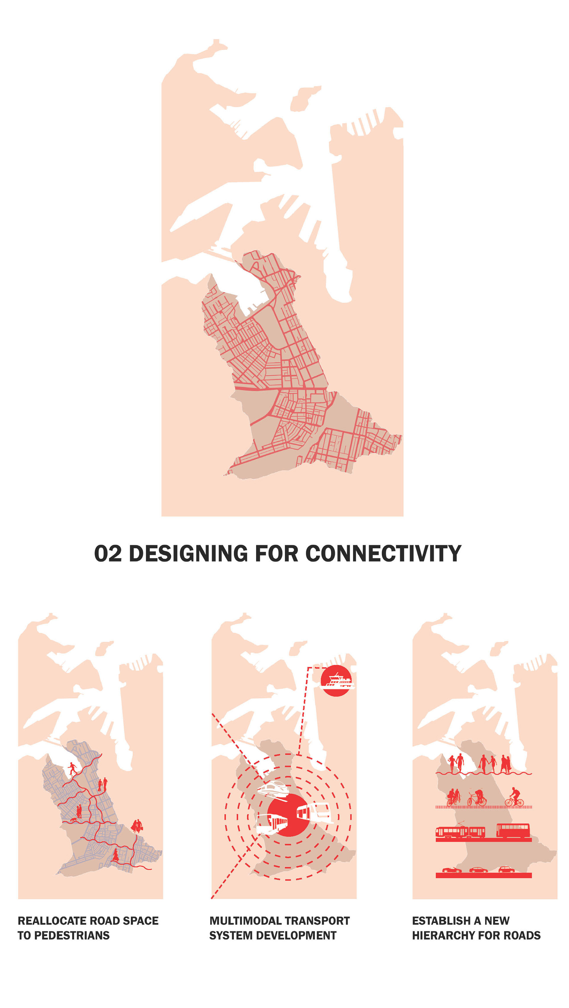
The creek can be daylit in stages. Beginning with the wider streets of Ultimo boardering our project sitem, its course will become a blue-green corridor which weaves amenity back into the streets. This aims to not only help activate a neglected ground plane but also increase connectivity through the neighbourhood, fostering a walkable and cyclable city. Streets along the creek are reallocated to pedestrians and cyclists encouraging a change in hierarchy of transport modes to prioritise people over heavy traffic in these dense areas.
As the creek travels upstream through Chippendale and Darlington the scale of the daylighting intervention can be narrowed to suit the lower building scales and narrower streets. Broadly, the strategy of weaving blue-green infrastructure through the grid can be seen as a way to connect these suburbs which are further away from the harbour back to the movement of water through the city.
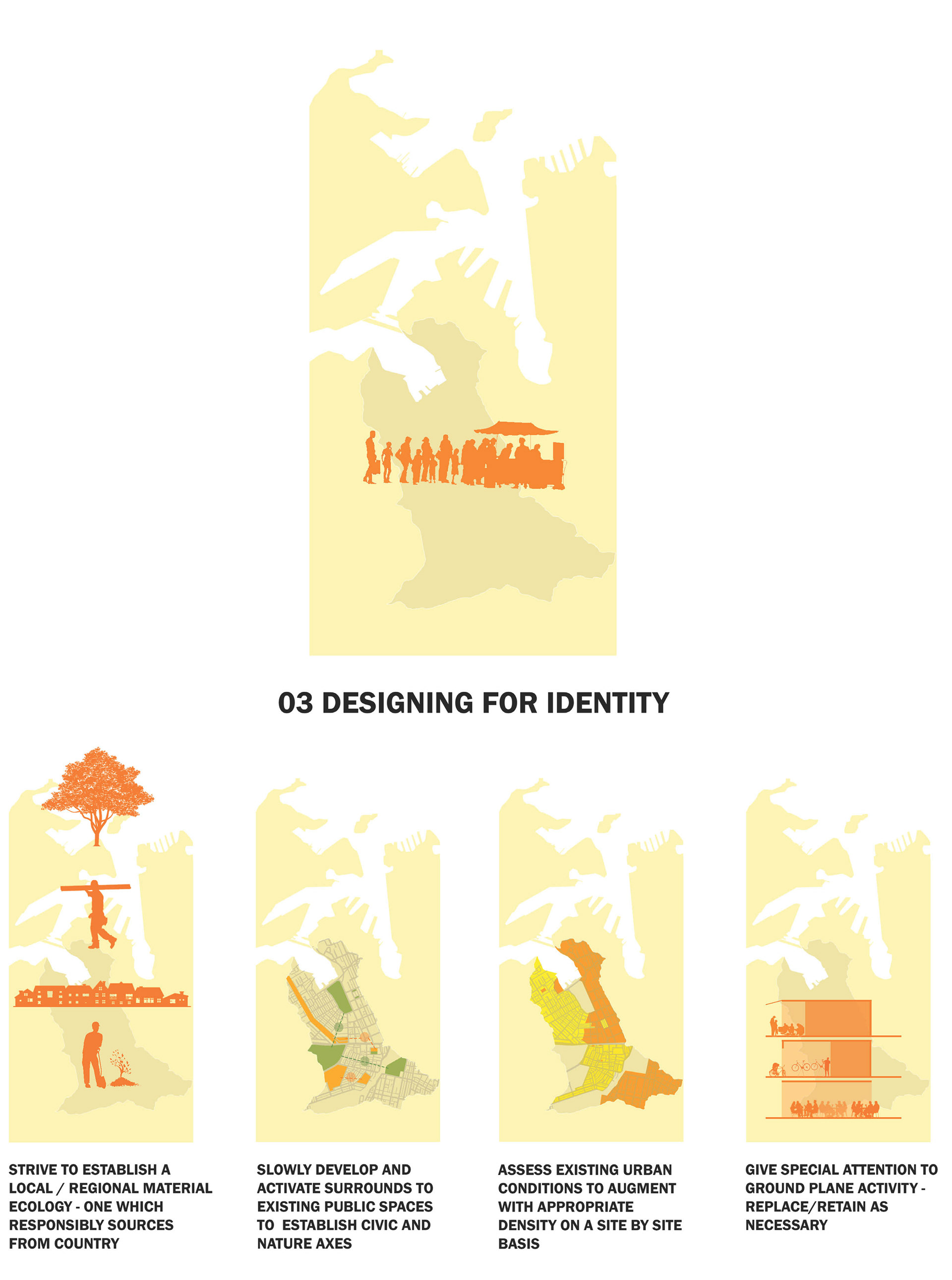
We look to the strategy of urban acupuncture to identify sites within the catchment and along this creek which have the potential for greater street engagement and increased density. These projects can acknowledge Country by being built in tandem with the daylighting strategy, connecting them to the wider topography and history of the catchment.
Site Masterplan
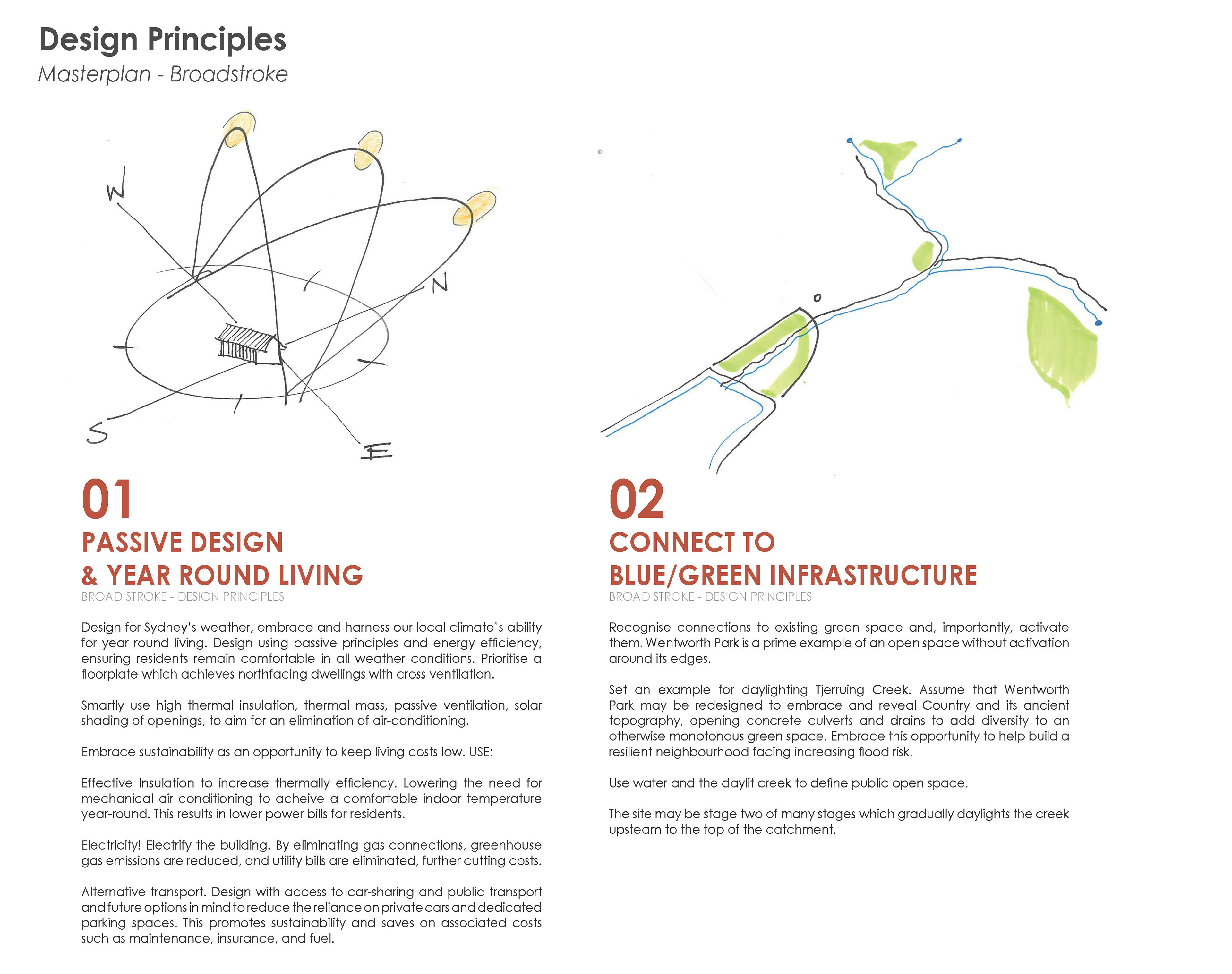
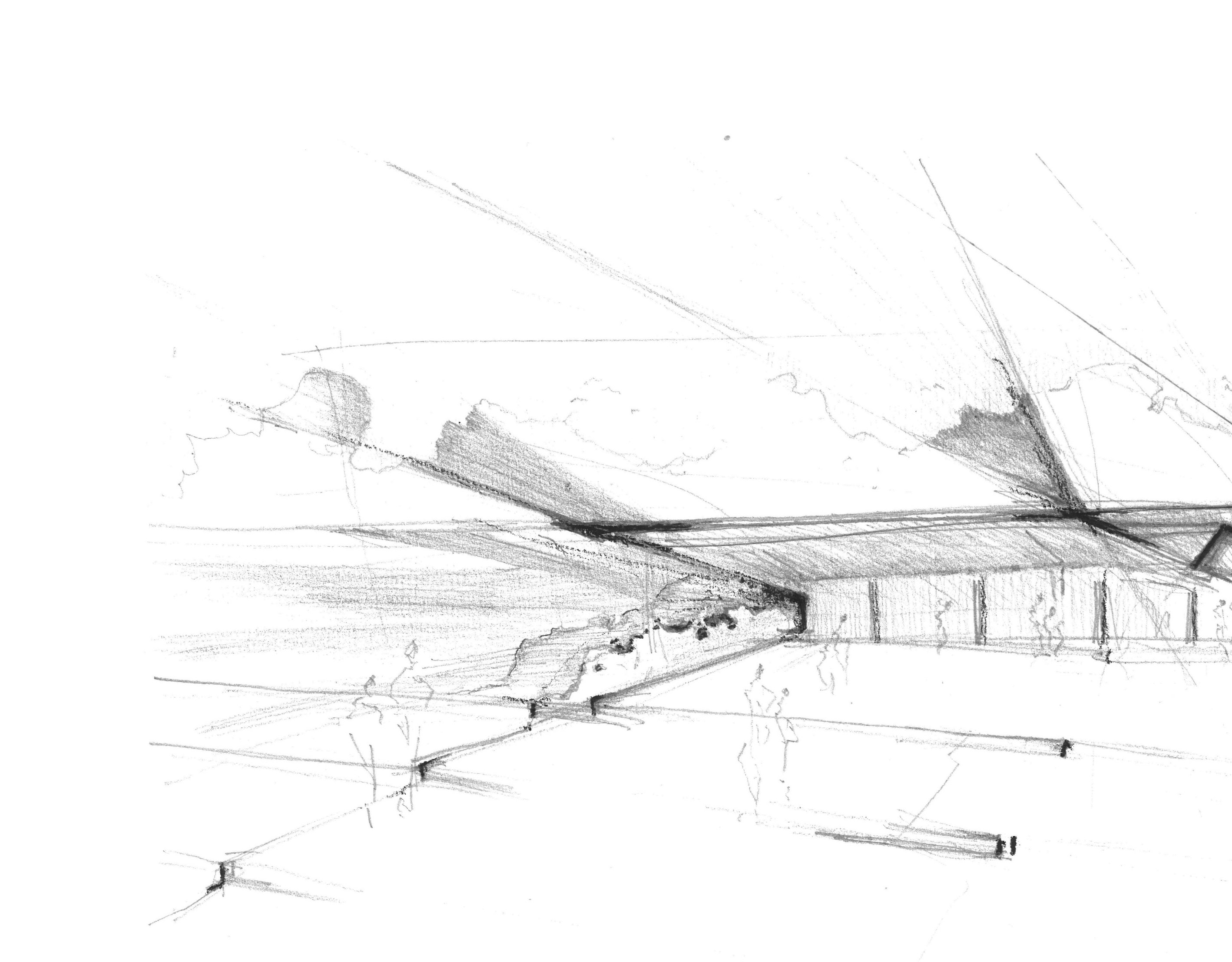
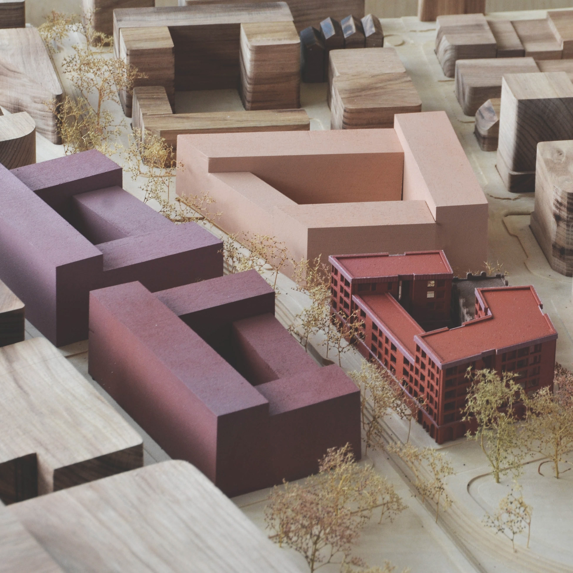
Our architectural design principles for the masterplan of the Tjerruing - Blackwattle Bay question the best practices to reveal and heal Country. At the core of our proposal is the restoration of Tjerruing Creek, a waterway diverted underground, with the potential to emerge, revealing the entire water catchment’s topography and incorporating the essential identity of place into the urban fabric.
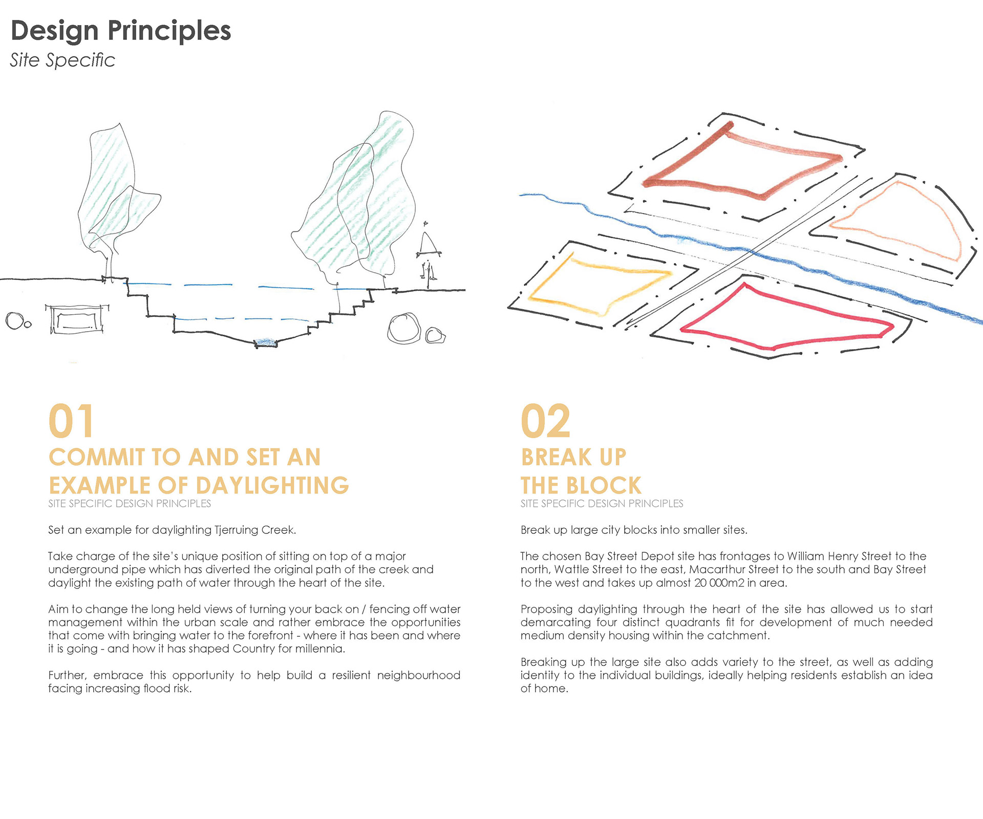
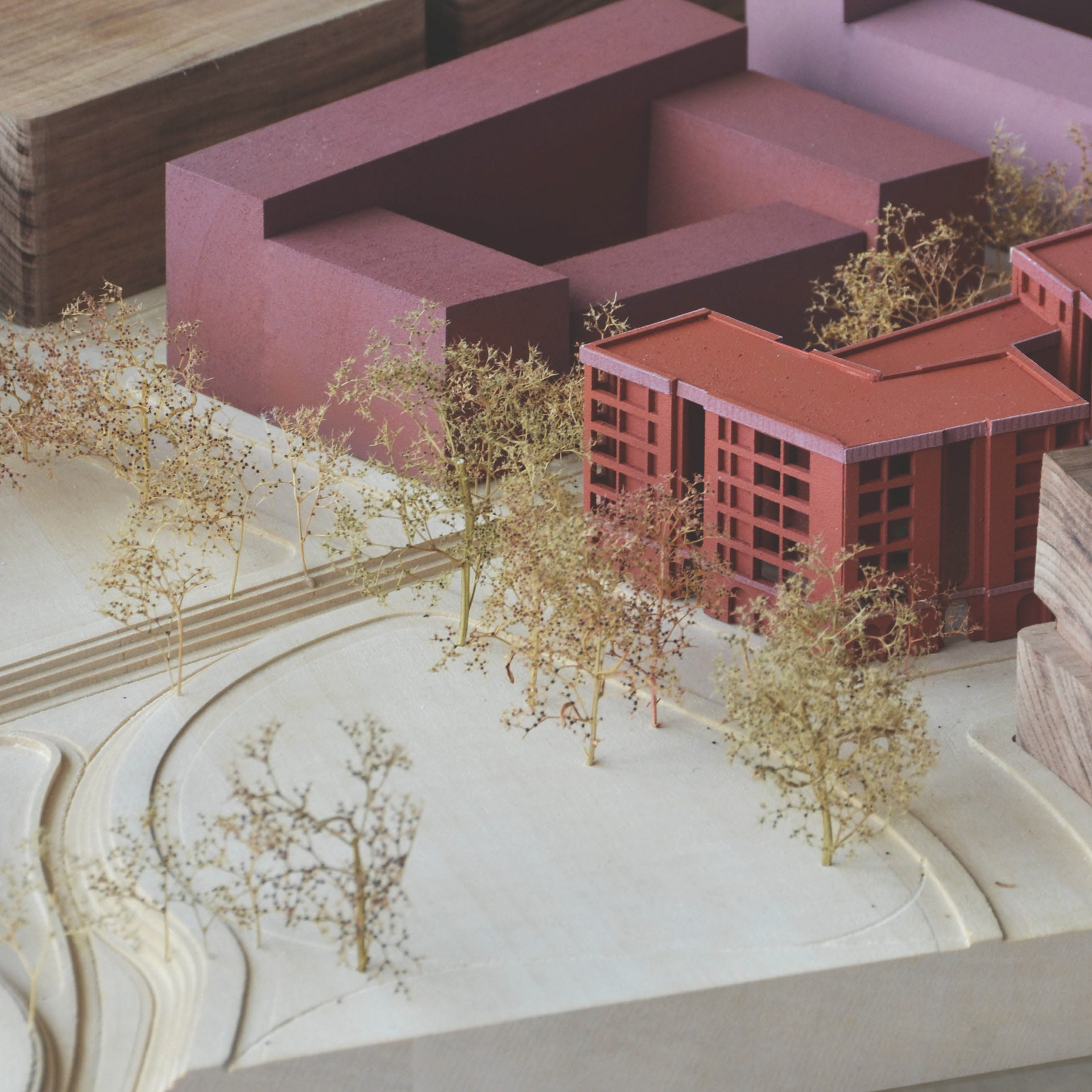
We begin with a commitment to recognising and activating the existing green space at Wentworth Park. Directing the creek through the park embraces the opportunity to unveil the ancient topography of the land and connect it back to Sydney Harbour after its separation due to the construction of the new Sydney Fish Market. By daylighting the creek, we not only restore it as a demarcation of Sydney’s geological topography and history but also forge a resilient neighbourhood equipped to confront escalating flood risks. Water, once relegated to the shadows of urban infrastructure, takes centre stage, defining public spaces and nurturing a sense of place deeply intertwined with this Country’s history.
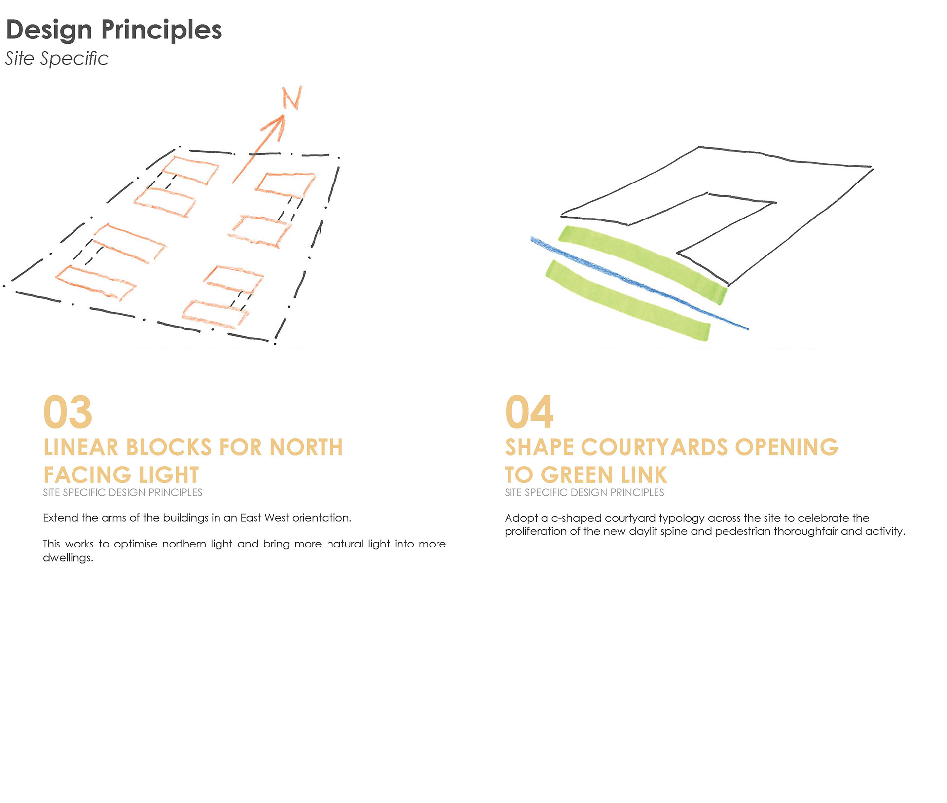
We chose this unique site at the creek’s original mouth as an opportunity to challenge conventional notions of water management, choosing to celebrate its presence rather than conceal it. We aim to design with, rather than against this element of Country, looking to the creek to add amenity into the urban grid. Flowing through the site its course breaks up large city blocks into smaller sites. These are far more adaptable than an enormous city block, allowing different architects and planners to focus on different occupants and programs. These foster diversity and identity while paving the way for much-needed medium-density housing. These blocks extend in an East-West orientation following the shape of Blackwattle Bay as well as harnessing sun exposure to the north to facilitate passive design.
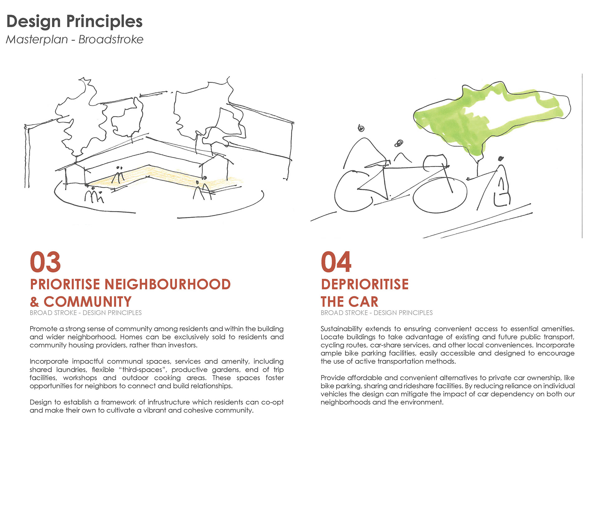
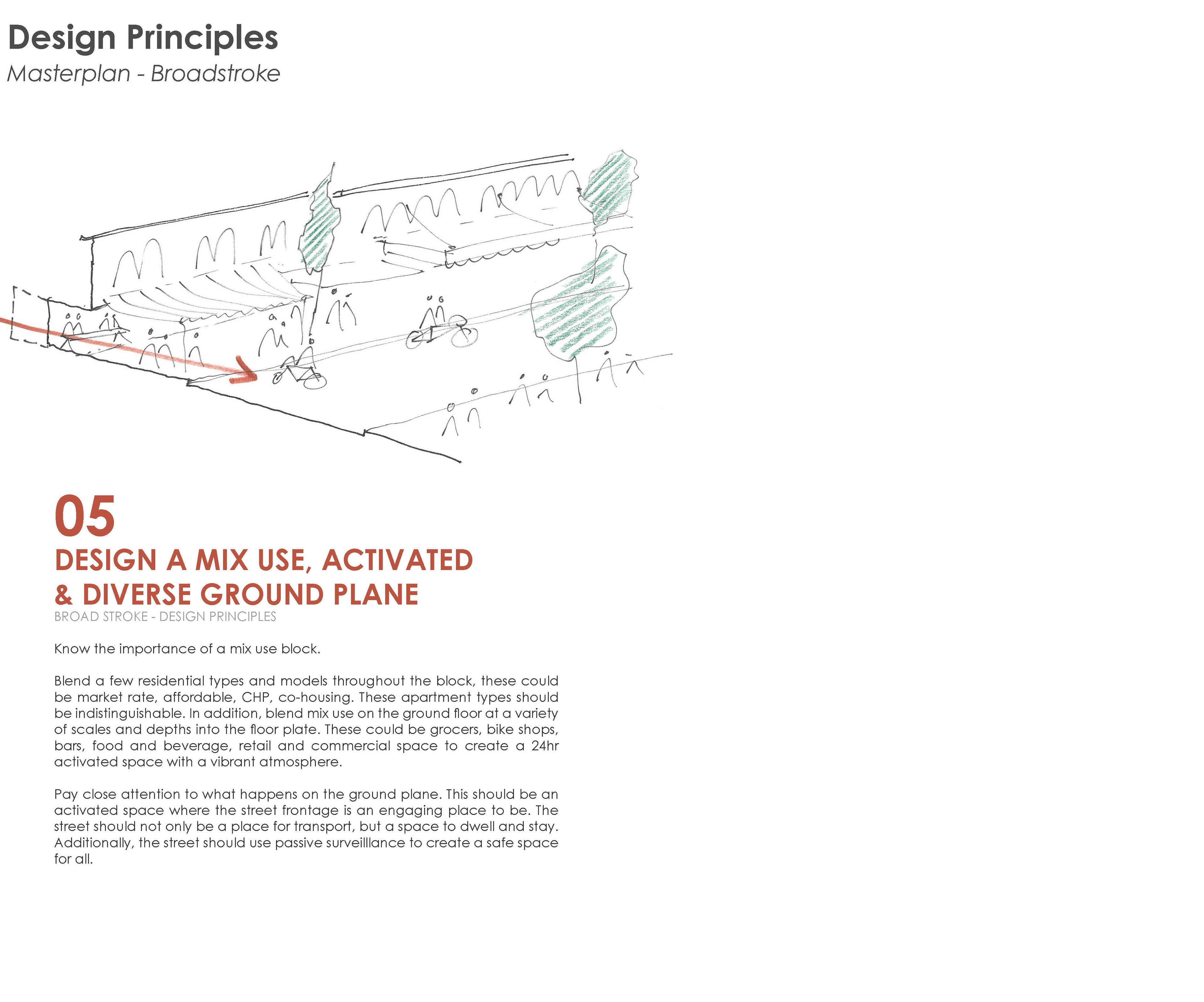
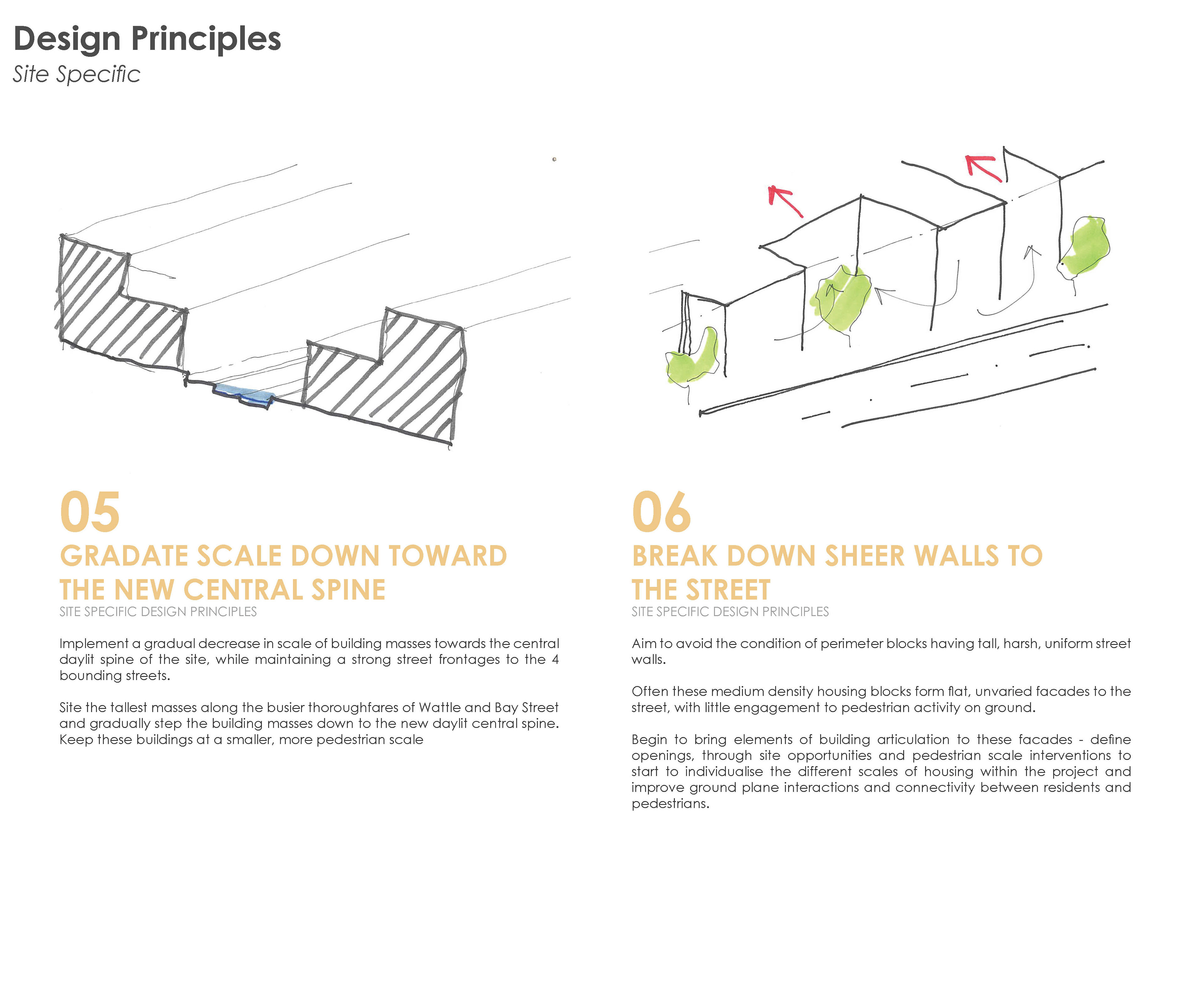
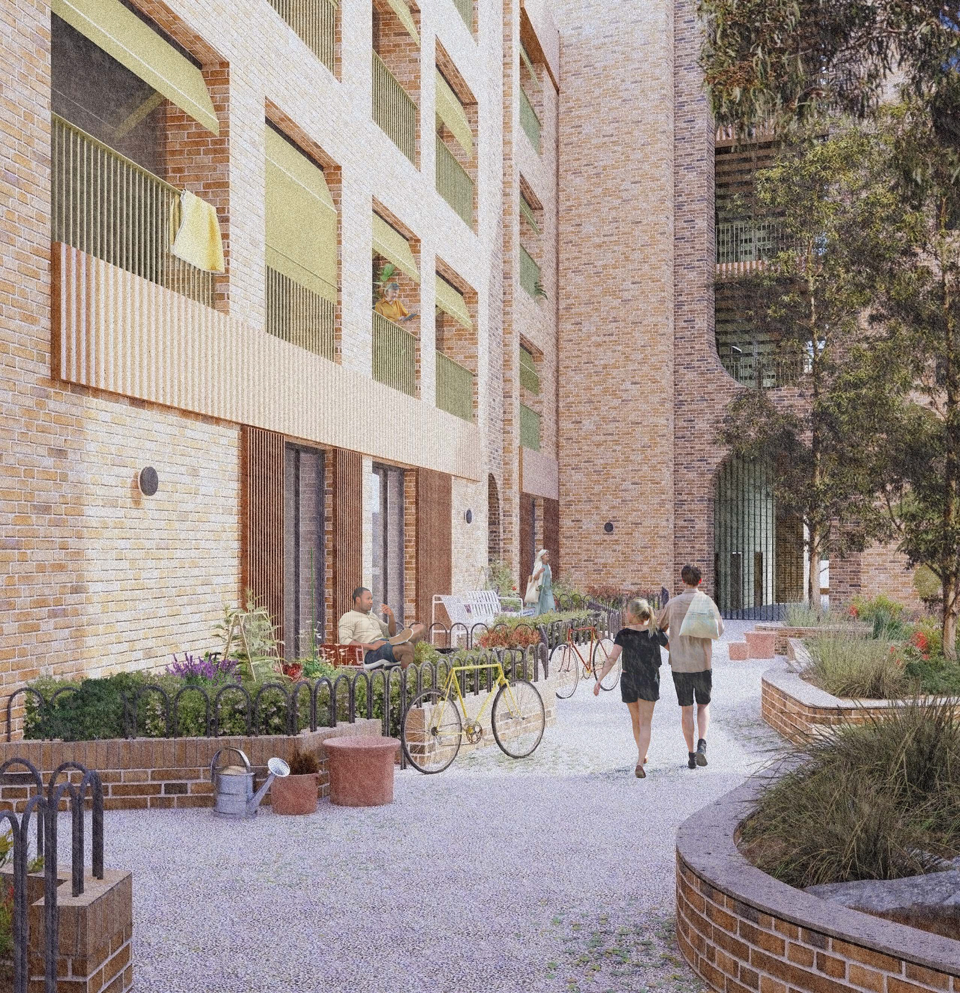
Central to our design is the recognition of community. The suburbs of Glebe and Ultimo straddle which the site and have long been places where working class communities and affordable housing neighbourhoods are protected. Facing increasing gentrification, we hope to address this history by placing an importance on the street, aiming to activate Bay and Wattle streets and ensuring the creek increases connectivity through the site. We advocate for a gradual decrease in building scale towards this central artery, prioritising pedestrian engagement and human-scale interactions over imposing facades. Taller building scales are instead appropriately positioned along the sites main traffic routes at Bay Street and Wattle Street.
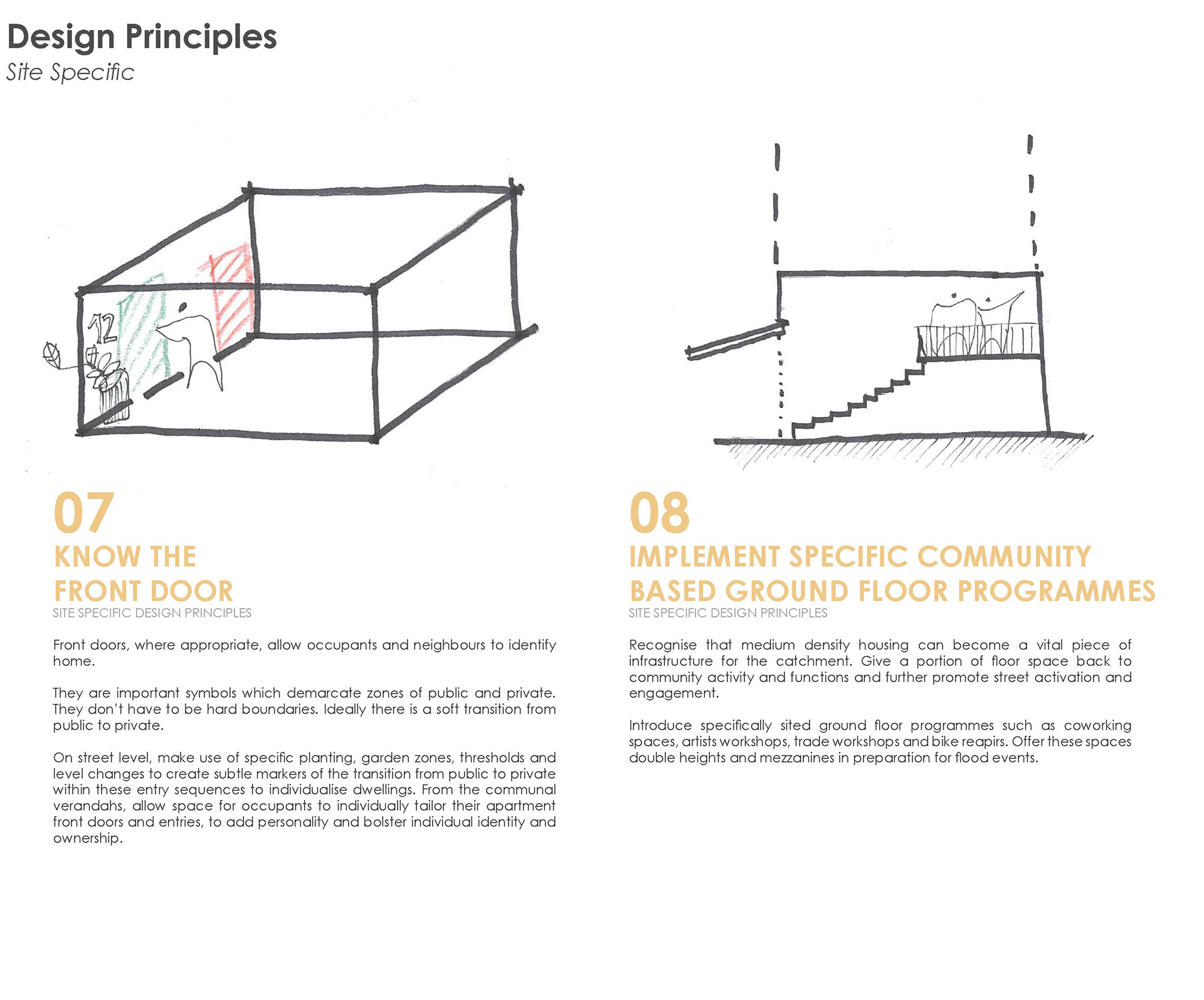
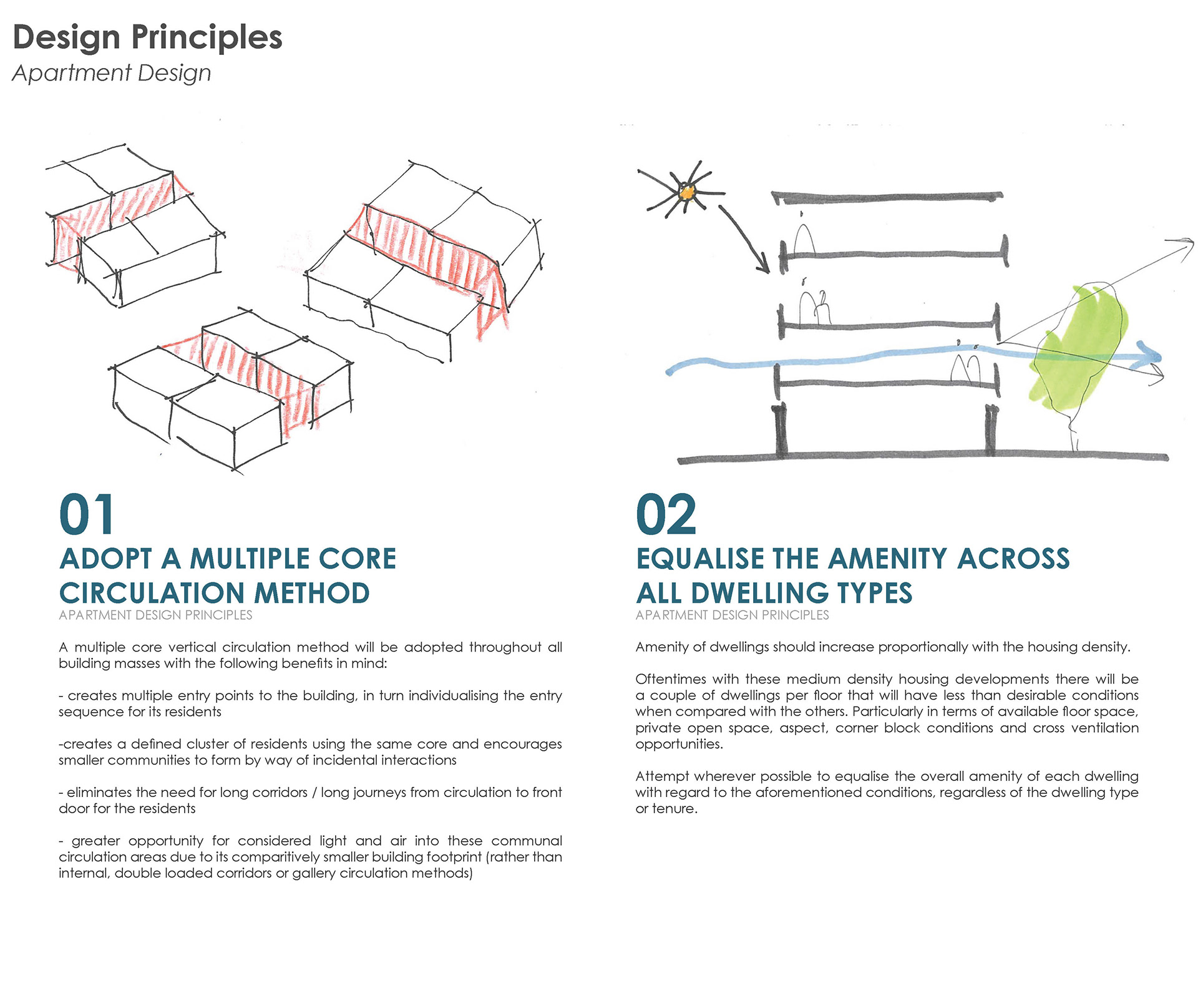
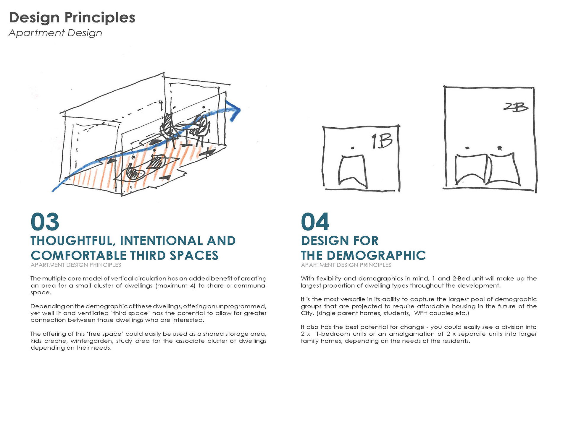
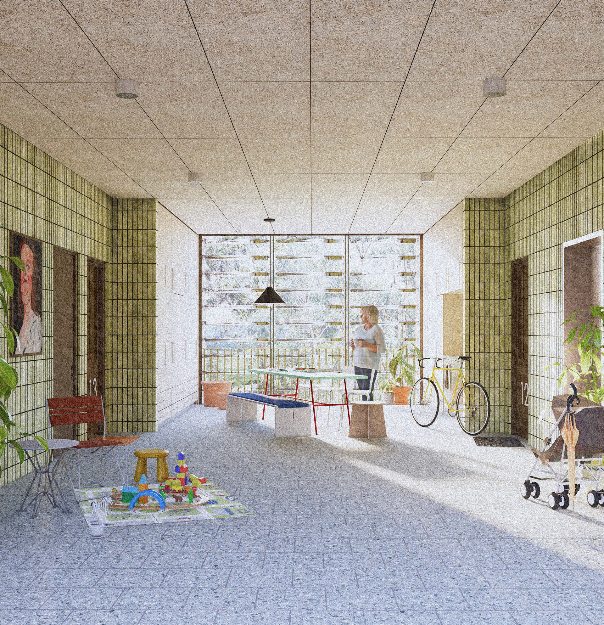
In our pursuit of liveable, equitable spaces, we reimagine the role of medium-density housing as social infrastructure, not merely an investment opportunity. Several front doors and lobbies to the street become activated entries of identity and belonging, while internal communal verandahs invite the opportunity for neighbours to foster a close community of encounters and shared experiences. The multiple-core vertical circulation model emerges as a catalyst for community formation, fostering intimate connections and empowering residents to shape their collective narrative.
To enhance sustainability, we prioritise accessibility and connectivity, locating buildings in close proximity to essential amenities and public transport hubs. The creek provides a green corridor fostering a walkable and cyclable city to connect residents to the main transport routes upstream to Broadway. By promoting active transportation and reducing car dependency, we mitigate our environmental footprint while nurturing vibrant, walkable neighbourhoods.
